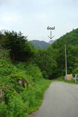
So we began about 9:20 am at the parking lot
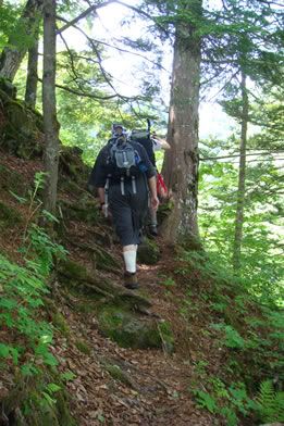
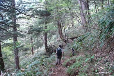
The hike is almost straight up and down. Literally, there are hardly any switchbacks once you get out of the trees...
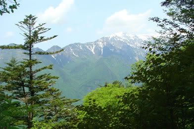
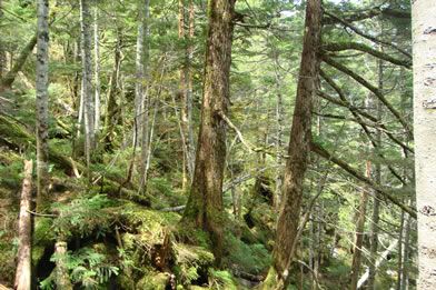
The trees slowly begin to thin... and even though the temperature was falling it was just humid enough that I was still shedding layers, ha ha
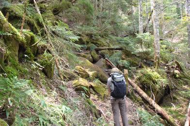
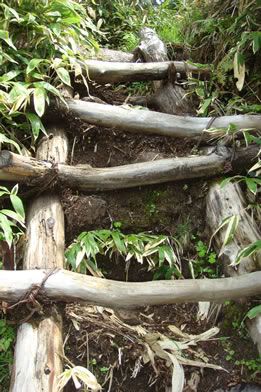
gotta love those nice, well-maintained trails
Erin: "hmmm... now where did that trail go?"
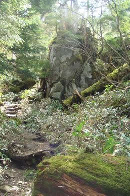
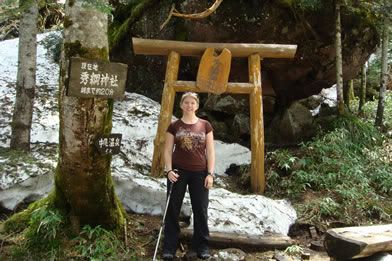
About mid-way up there is this fantastic shrine where the tree is splitting this enormous boulder. It also doubles as a great break spot.
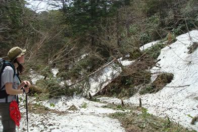
The snow lasted pretty much until after we passed the tree line, which was both a benefit as it made the trip faster since it flattened the trail a bit, and a curse as all 3 of us managed to plunge our feet into the snow more than once v^_^
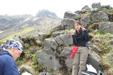
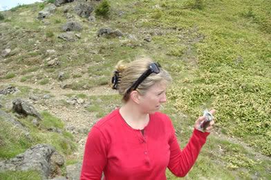
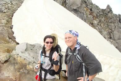
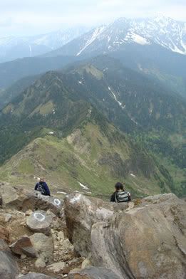
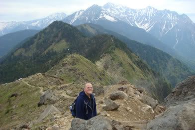
We stopped for lunch on the ridge between mountain summits. All 3 of us agreed it bore a striking resemblance to Weathertop. Sadly, we were fresh out of 'taters and forced to rely on our trusty supply of onigiri ^_^
Nagano is that way, right?
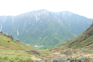
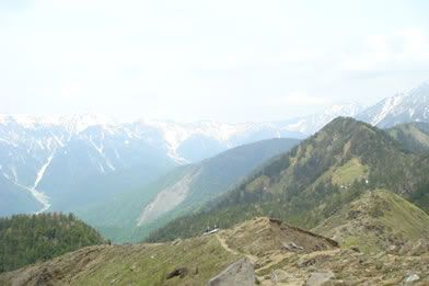
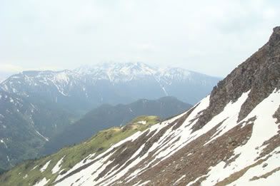
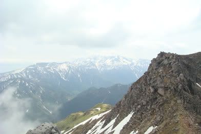
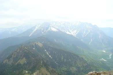
View of Kamikochi, Nagano from the "lunch spot"
After a short break
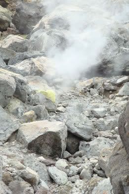
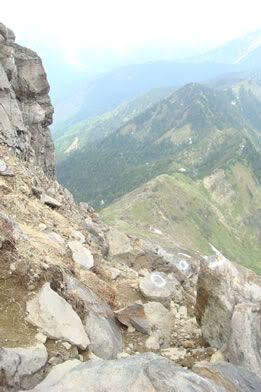
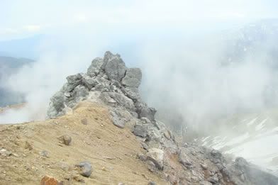
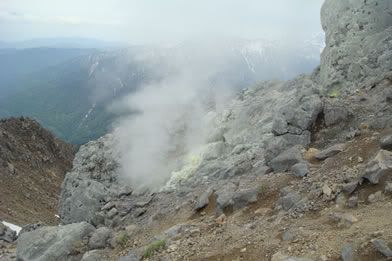
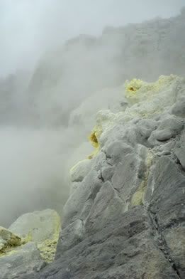
And there were steam vents!!!
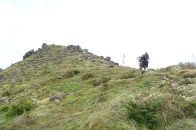
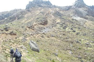
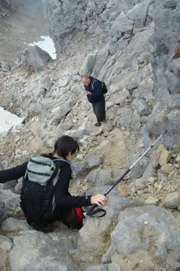
And it was steep
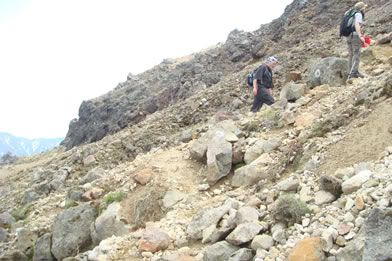
Like, really steep
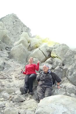
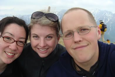
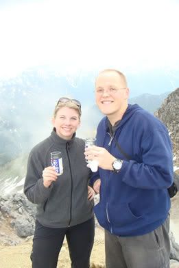
Upon reaching the summit, we toasted the mountain with a sake kampai (cheers)
And puttered around at the top for about an hour.
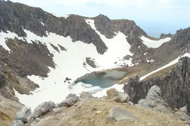
As any self-respecting volcano should, Yakedake has lovely crater lake
Steeeeeeaaaam vents!!!!

And then after taking a good long look at the building clouds, we decided to descend
Did I mention there were steam vents? ^_^
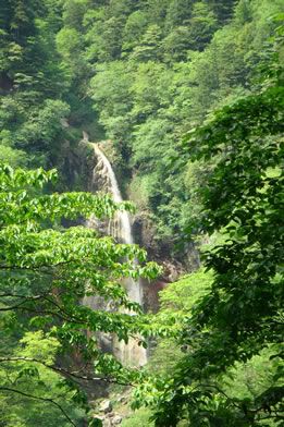
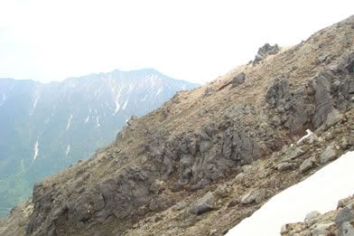
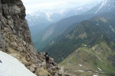
The view on the way back is breathtaking
Daniel even broke into song at this point
And though the hike down was, well, down, it was surprisingly difficult. I think my legs got more worn out from the hike down than on the way up, ha ha ha
About 2.5 hours after we began our decent we reached the car. ahhhhhhhhh....
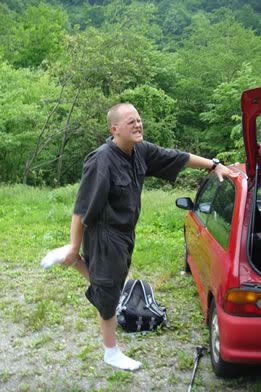
And changed pants. Most of the snow was considerably slushier on the way down than it was on the way up ^_^

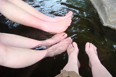
And we ended our day with a stop at the local foot spa.
Total time: 7.5 hours. Hiking time: ~6
And I'm not even that sore today. Woo hoo!

No comments:
Post a Comment